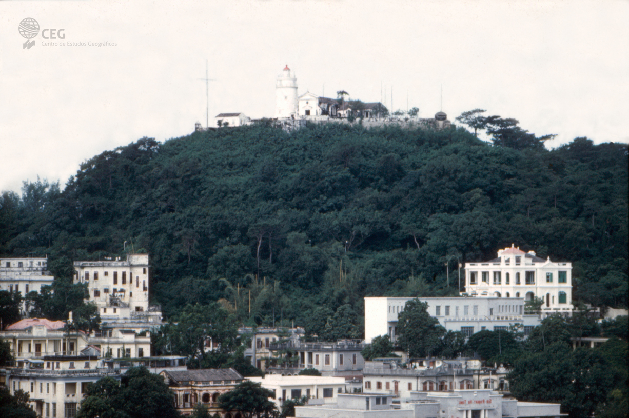
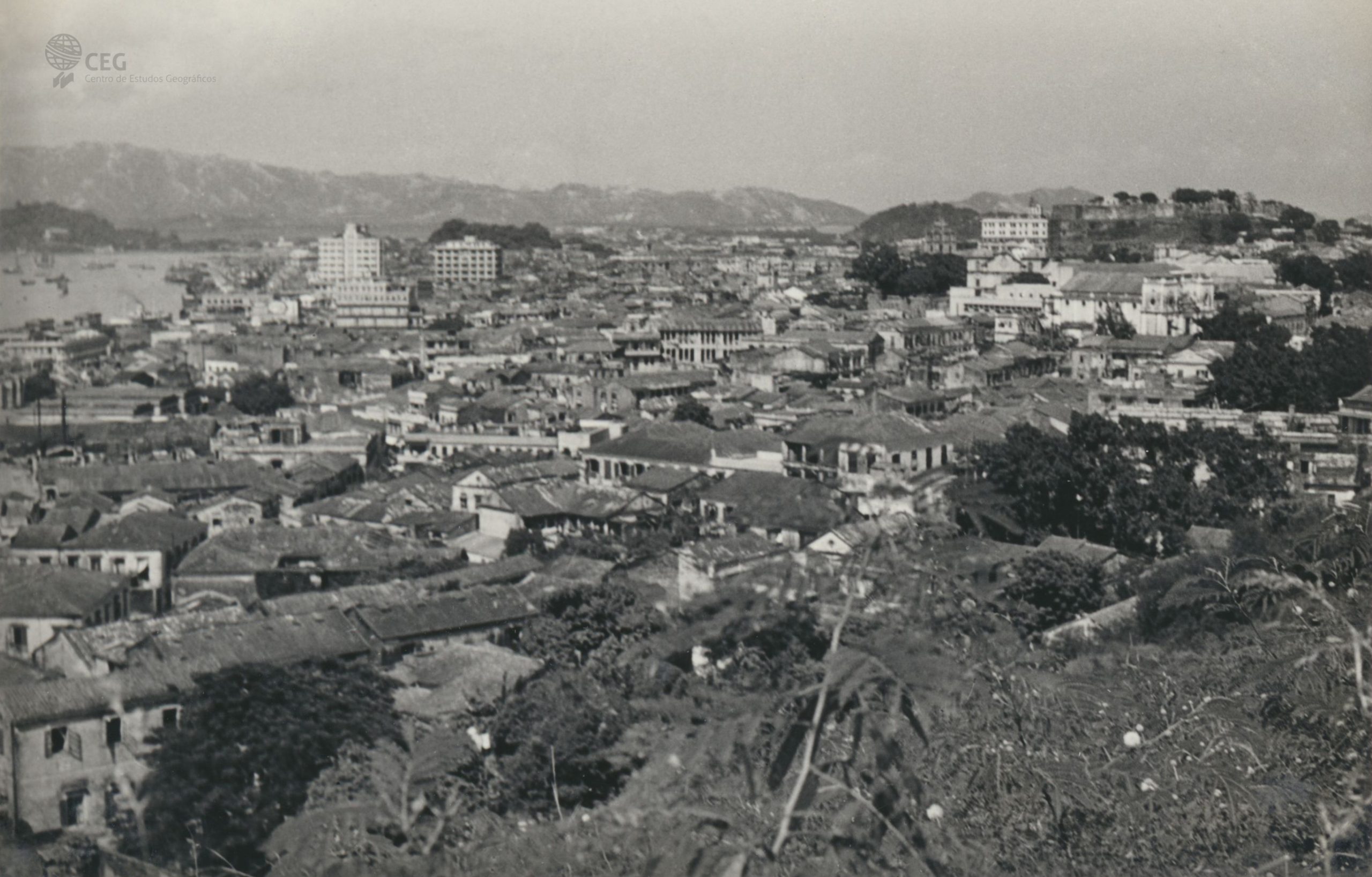
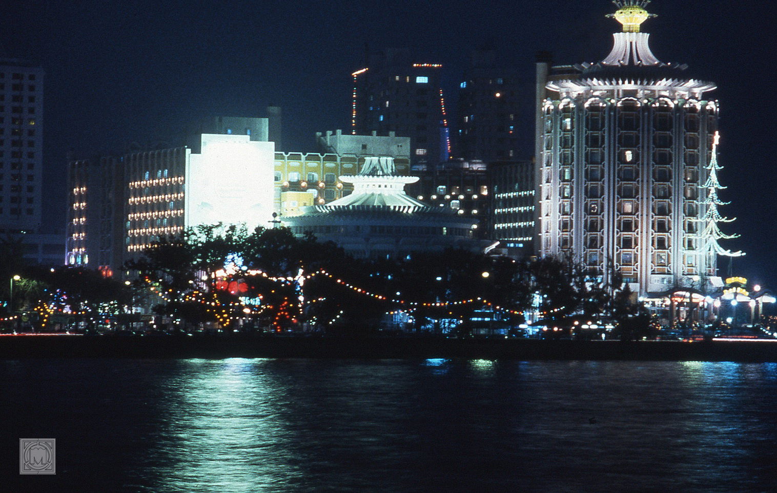
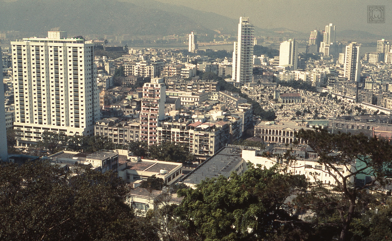
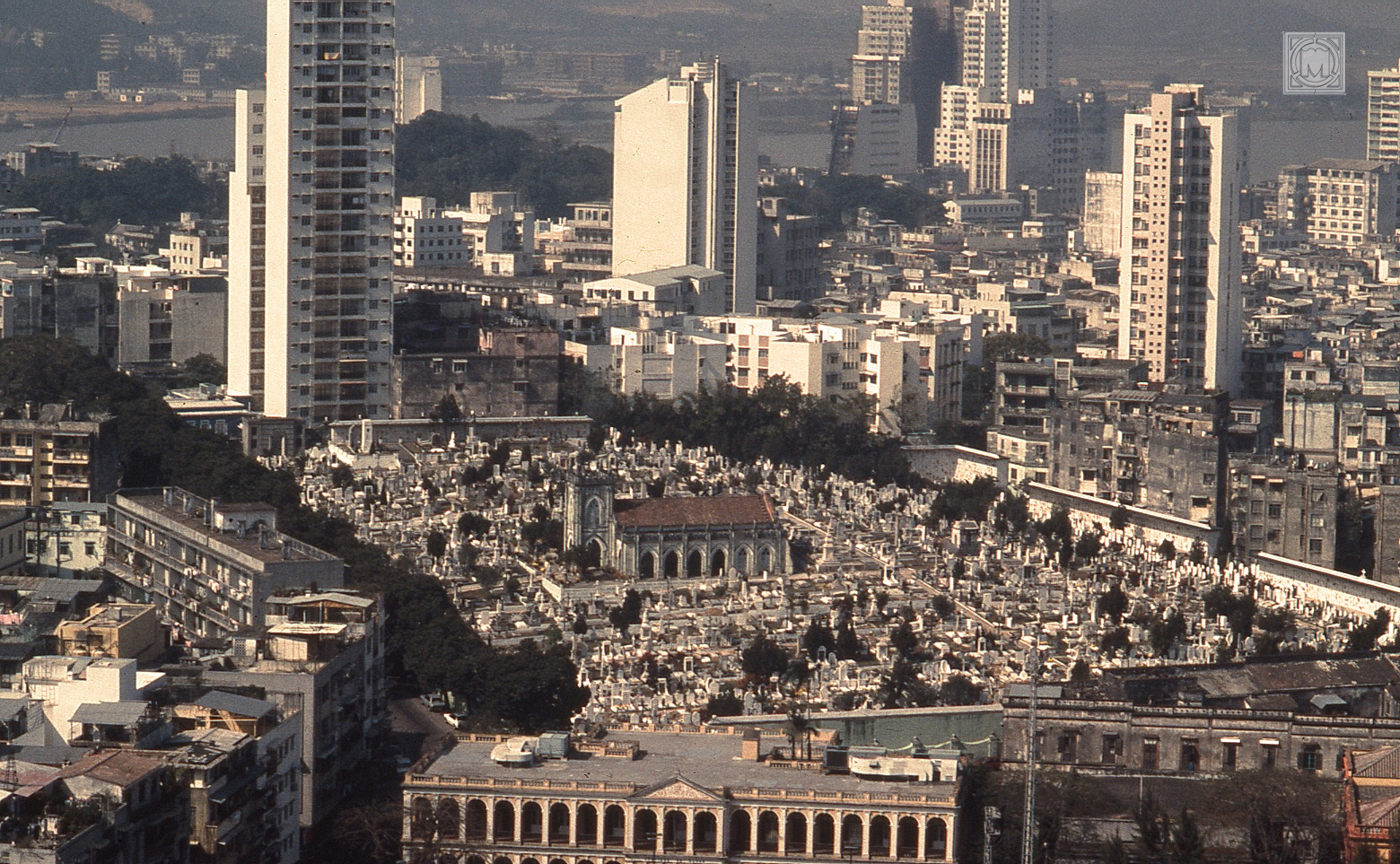
Reflexo quase instintivo dos geógrafos em trabalho de campo, as primeiras imagens de Macau são tomadas a partir dos pontos mais elevados ou correspondem a panorâmicas mais ou menos gerais do Porto Interior e da Praia Grande, auxiliando assim a compreensão do sítio e da situação geográfica da cidade. Em 1961, na silhueta de Macau destacam-se ainda todos as pequenas colinas graníticas que existem na cidade, com destaque para Barra e Penha a oeste, Guia a sudeste, Mong-Há a norte, Ilha Verde a noroeste e a muralhada colina do Monte, no centro. Nas fotografias mais recentes, os novos aterros e as pontes que ligam a península de Macau à ilha da Taipa são as novas imagens fortes da cidade. O casco antigo, centrado no Bazar e no espaço da antiga cidade portuguesa intramuros, é encravado pelas construções em altura, que passam a dominar quase todas as vistas.
Almost an innate reflection of the fieldwork practice carried out by geographers, the first images of Macau are taken from the highest points or correspond to panoramic viewpoints of the Inner Harbour and Praia Grande Bay, helping to understand the site and geographical situation of the city. In Macau’s 1961 photographs, the profile of the small granitic hills of the city is also clearly visible, especially the Barra and Penha Hills to the west, Guia in the southeast, Mong-Ha in the north, Ilha Verde in the northwest and the walled Monte Hill in the center. In the more recent photographs, on the other hand, the new reclamations and the bridges connecting the Macau peninsula to the island of Taipa are the main landmarks of the city. Macau’s old town hull, located on the Bazaar and in the area corresponding to the ancient Portuguese walled city, is embedded by high buildings, which tend to dominate the landscape.
第一批照片是从澳门的最高点拍摄的,这几乎是地理学家所进行实地调查实践的本能反应,它对应于内港和南湾的全景,有助于理解城市的位置和地理状况。在1961年澳门的照片中,可以清晰地看见该市的花岗岩小山丘,特别是西部的妈阁庙和西望洋山,东南部的东望洋山,北部的望夏山, 西北部的青洲和中部的围墙。在最近的照片中,新的填海工程以及连接澳门半岛和氹仔岛的桥梁是城市的主要地标。澳门的老城区与葡萄牙古城墙相对应的地区被高大的建筑所嵌入,这些摩天大楼几乎占据了所有的视野。


